Flooding in the Headwaters of the Southwest
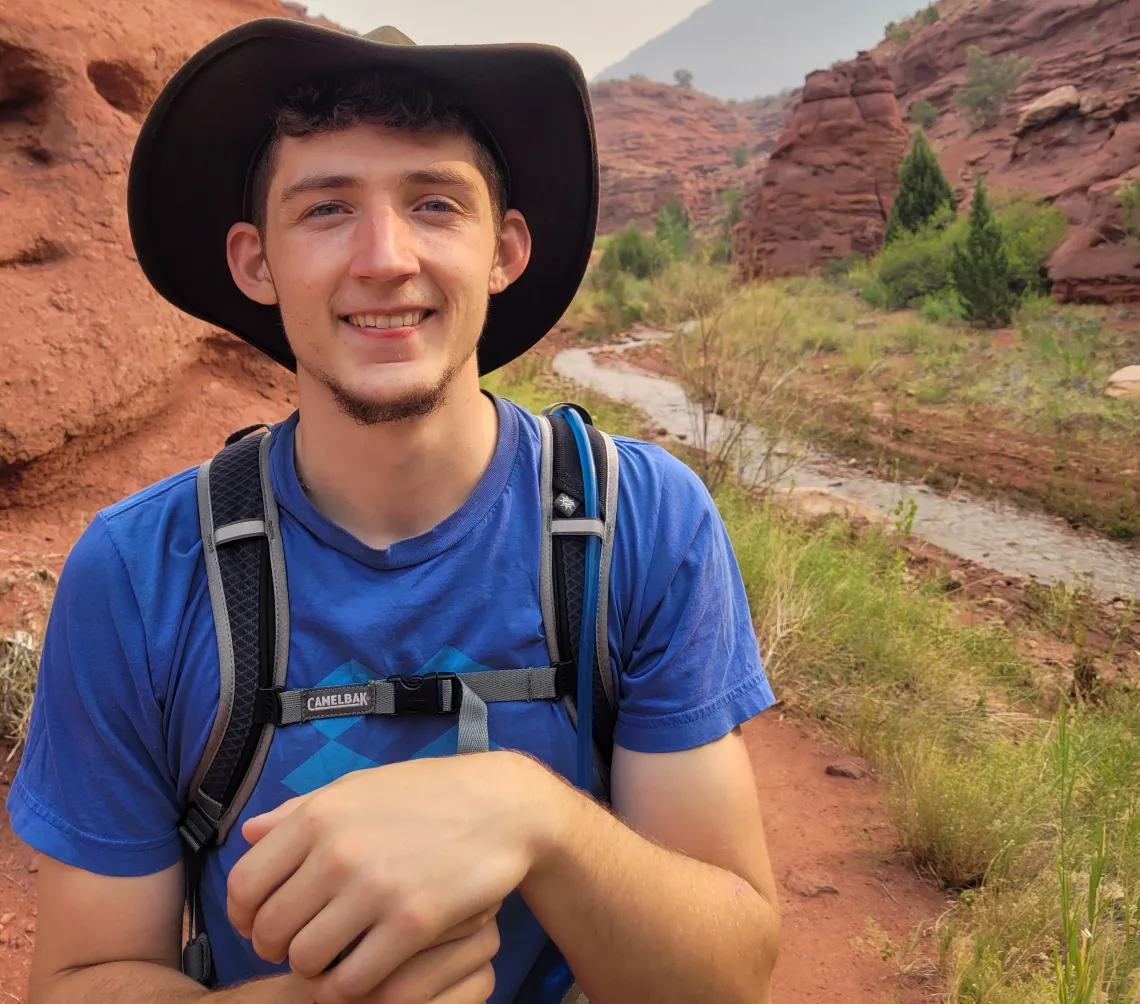
I am super excited to enter the world of stakeholder engaged research in water systems with Colorado State University and the Southwest Climate Adaptation Science Center! I moved from southern Appalachia to the Southwest in 2022 and was struck by the hydrologic extremes which shape the region. The areas that jump out to me are river corridors, which are often referred to as riparian zones. The riparian zone is interesting to me because it is distinctly green in a brown landscape. Water gives life here in a way that is totally different from my home, and I find this life-giving feature beautiful and want to dedicate my career to understanding water in this environment.
Along the mountainous headwaters of the Southwest, there are some areas which are steep and confined between valley walls, and others with wide, well vegetated, floodplains which are well connected to the adjacent waterway. These wide, well-connected areas are called beads, and not only do they provide beautiful life, but also play an important role in the water cycle. My research centers around studying the services provided by beads, and determining how we can support these areas to maximize their benefits. One of the major services which beads provide is flood protection. Beads are well connected to their associated river, and when this river floods, the floodwaters readily spill into the rest of the bead. Some of this water is stored and released slowly over time, helping reduce the intensity of the flood. Through computer simulations of these areas, I am helping to develop a method to identify beads which have the potential to reduce flood intensity so we can protect those areas and keep these vital services intact.
Unfortunately, management decisions have led to widespread simplification of these areas, such as beaver dam removal and channelization, which has contributed to reductions in baseflow and more severe floods. These simplified streams confine floods to narrow corridors where they do immense damage to riverine ecosystems, public infrastructure, and private property. Thankfully, there are ongoing projects to reverse the negative impacts of river corridor simplification and channelization by returning some of the natural features which create well-connected floodplains. This process is a form of river restoration and is being applied in projects across the Southwest. These projects often involve adding wood back into the system to counteract the historical removal of wood, creating structures that mimic beaver dams, or changing grazing patterns to promote the growth of riparian trees and shrubs. One of the major goals of my time as a graduate student is to assist ongoing river restoration projects, providing guidance for design and monitoring of success to inform future work.
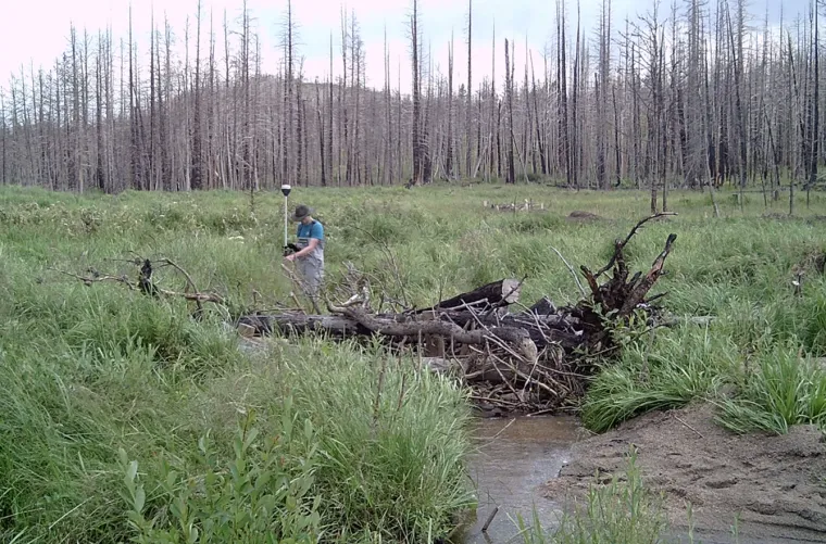
Mapping out restoration structures to incorporate them in my models. The trees behind me were burned in a wildfire. Wildfires like this alter how water interacts with the landscape and leads to large flash floods which are full of ash and fine sediment.
So far, I have modeled several streams that reduced the peak flood intensity by a large range, with the most effective beads reducing intensity by over half (56% lower peak flow) and some that have a minimal impact on flood intensity (<5% change). The large range in values is due to the varying bead and flood characteristics of the southwest region. The bead which showed the greatest flood intensity reduction was a recently abandoned beaver meadow. It was located in the widest, lowest gradient, valley with beaver structures providing lots of wood in the floodplain. The beads which provided the least flood reductions were those that had the smallest widths and the least amount of vegetation. The type of flood which was impacted most by beads was large flash floods. These findings indicate that well-connected, heavily vegetated tools are especially effective tools in mitigating the effects of post-fire floods, which are characterized by very flashy floods with high intensity.
This is an example flood model I created for my research. The flood begins in the river originating in the top right and quickly spreads out onto the floodplain. Water is stored here on the floodplain and is released back to the river system slowly compared with water which is confined to the river.
I am a strong believer that science is only valuable when it is made accessible to those who need it. That is why I have taken every chance possible to get involved in local river management projects. As a Natural Resource Workforce Development Fellow (NRWD) with the SW CASC, I am helping to produce stakeholder-engaged science to understand the shifting water availability for ranchers. Additionally, I aided in the design of a restoration project in Rocky Mountain National Park. This project not only aims to enhance floodplain connection within the park, but has cascading effects to downstream systems, including significant increases in flood attenuation, increased baseflow to the Colorado River, reduced excess nutrient loading, and increased resiliency to wildfire. The modeling I completed for the design plan showed a clear increase in baseflow storage and flood attenuation. I am proud to say that the project is moving forward and has helped spark further interest in this kind of project for other streams within the park.
Throughout the rest of my Ph.D., I intend to continue involvement with projects like these and expand my study of river beads to a network scale. This network scale investigation serves to take a more holistic view of river systems and incorporate the lessons learned at the reach scale.